


What is the name and location of the wildfire?
As of February 3, 2025, the Eaton Fire is a 100% contained fire in the canyons and foothills near Altadena and Pasadena, California (1)(2).
The fire was active close to Altadena Drive and Midwick Drive, and affected areas with challenging terrain and high winds.
The Eaton Fire destroyed homes, vehicles, and the Pasadena Jewish Temple Center as of Wednesday morning and killed several people (3).
Which cities or areas are affected by the wildfire?
The Eaton Fire impacted the numerous communities, including:
The fire’s rapid spread due to shifting winds and dry conditions posed significant risks to nearby residential areas, local infrastructure, and critical facilities. Spot fires have been reported within these communities.
Air quality across Los Angeles was severely impacted by wildfire smoke, resulting in hazardous air quality from Pasadena to El Segundo.
What is the current containment status of the wildfire?
As of February 3, the Eaton Fire had burned 14,117 acres is 100% contained (4)(5).
Firefighters from multiple agencies, including the Los Angeles County Fire Department, Pasadena Fire Department and the United States Forest Service, worked aggressively to slow the fire's progress. Efforts were hampered by extreme weather conditions, including high winds, low humidity, and dry vegetation, which contributed to rapid fire growth.
Are there any evacuation orders or alerts in place?
Evacuation orders have been lifted.
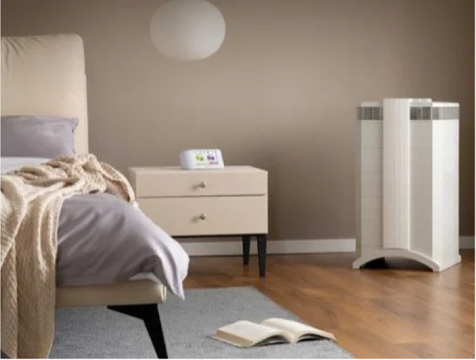
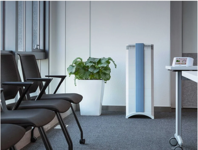
Protect yourself from wildfire smoke
See how a wildfire smoke air purifier can help clean your air.
How can I protect myself from wildfire smoke?
Always plan ahead to protect yourself from wildfire smoke.
- Get a free air quality app for real-time air quality alerts and forecasts.
- Shut doors and windows and set the HVAC to recirculate mode.
- Run a high-performance air purifier to filter wildfire smoke.
- Contribute to your community’s outdoor air quality data.
- Stay indoors; if you do need to go outdoors, wear a KN95/FFP2 mask.
As of February 3, 2025, this fire is 100% contained.
The number one air cleaning solution for your home.
Lorem ipsum Donec ipsum consectetur metus a conubia velit lacinia viverra consectetur vehicula Donec tincidunt lorem.
TALK TO AN EXPERTArticle Resources
Article Resources